

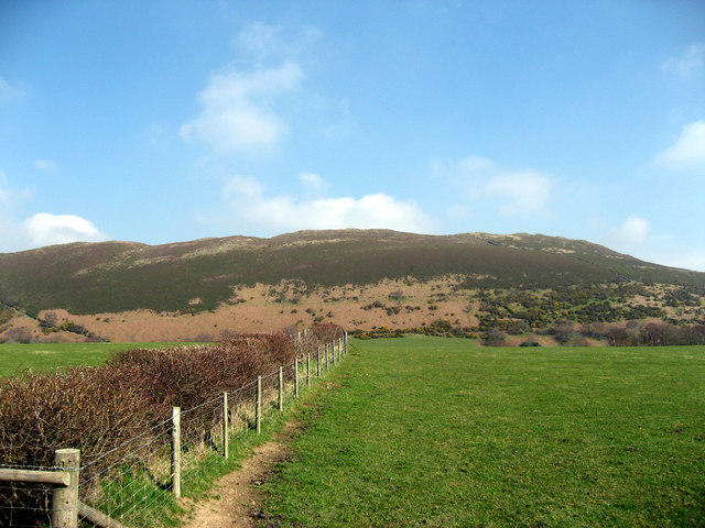
Moel y Faen [Llantysilio Mountain]
Good walks are even better shared.
SJ1847 : Moel y Faen
Alan Richards Photo source
Overview
Introduction
Moel y Faen, often affectionately dubbed as the 'hill of stones', is a delightful spot for hikers looking to escape the hustle and bustle of everyday life. Nestled in the picturesque Llangollen area of North Wales, this Marilyn offers splendid views without being too steep.
Geology
The rocky terrain is mainly composed of Carboniferous limestone, making for both intriguing landscapes and a strong footing. The geology not only provides impressive scenery but also houses a wealth of interesting flora and fauna.
Hiking Routes
The most popular route begins in the quaint village of Llantysilio. This moderate trek spans approximately 6.5 km, taking about 2.5 hours to reach the summit, depending on one's pace. Enjoy the hike as the path meanders through lovely grasslands and rugged rock formations, paving the way for that all-important summit experience.
Summit Features
At the top, you'll find a prominent stone cairn serving as a proud marker of your achievement. The panoramic vistas from the summit are worth every step of the journey. On a clear day, you might even be able to spot the majestic peaks of Snowdonia.
Terrain
The terrain varies from grassy slopes to rocky outcrops, providing a delightful mix that keeps your senses engaged. Just remember to watch your step - it's easy to get lost in the beauty and forget about where your feet are landing!
Views
From the summit, the sights are truly breathtaking. The contrasting landscapes of the Eglwyseg cliffs and the meandering River Dee all contribute to a painterly scene. The best times to visit for optimal views are definitely during the spring and autumn months, when visibility is at its finest.
Hazards
Though the path is relatively straightforward, do keep an eye on the weather. Conditions can change faster than you can say ‘pack a waterproof’, so be prepared!
Nearby Summits
If you're feeling particularly adventurous, nearby hills like Moel Fferna and Dinas Bran are beckoning. They both offer similar breathtaking views and routes that are equally inviting.
Access
Llantysilio village is your gateway – with a handy parking area that's a short distance from the trailhead. And if public transport is more your cup of tea, buses regularly make their way from Llangollen to the village, making it accessible for many.
After a satisfying climb, don't forget to reward yourself with a pint at the local pub!
Conclusion
So whether you're setting off on your first ever hike or you're a seasoned pro, Moel y Faen promises a pleasant outing with unforgettable views.
Happy hiking!
Explore routes near Moel y Faen [Llantysilio Mountain]
Walks starting near this hill. Open a route to check its map, distance and full itinerary.
Llangollen to Horseshoe Falls: Canal Towpath from Market Street
View route
World’s End and back
View route
Oswestry Walk with Men Walking & Talking
View route
Ellesmere Walk with Men Walking & Talking
View route
Route planning notes
These notes describe possible approaches. Check a route's map and access information when planning your walk.
Moel y Faen from Llantysilio
A well-trodden path from the village of Llantysilio leads directly to the summit, offering stunning views along the way.
Make a day of it, together
Find someone to share the walk with, or organise a day out along a route you like.
Photo Gallery
View all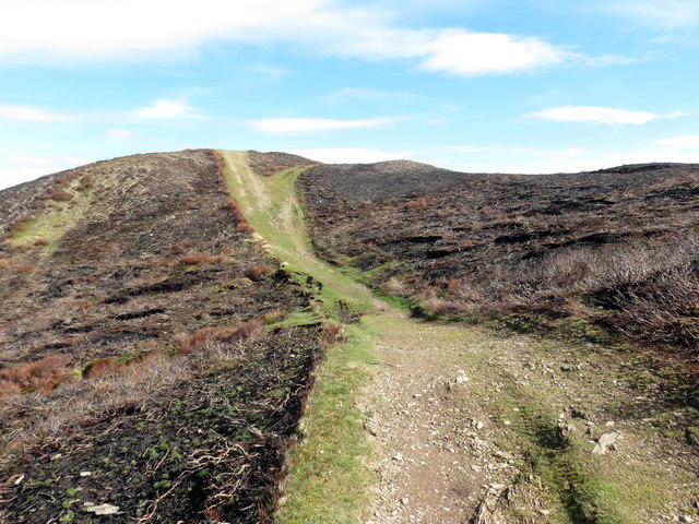 Photo could not load
SJ1847 : Moel y Faen
Alan Richards
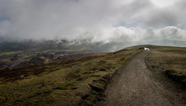 Photo could not load
SJ1847 : Moel y Faen Summit
Brian Deegan
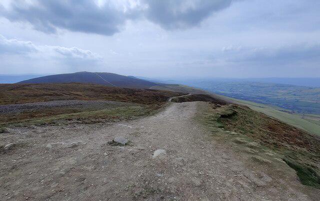 Photo could not load
SJ1847 : The summit of Moel y Faen
Mat Fascione
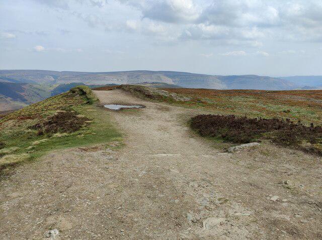 Photo could not load
SJ1847 : Path on the summit of Moel y Faen
Mat Fascione
Hill facts and local notes
Classifications
Elevation
547m
1,795 ft
Prominence
59m
Coordinates
53.0189, -3.2165
SJ184475
OS Map
116
Explorer: 256
At the Summit
The summit is marked by a stone cairn and offers panoramic views of the surrounding hills and valleys.
Terrain & Geology
The area consists predominantly of Carboniferous limestone, giving it a rugged yet striking appearance. The layers of rock have created unique formations and interesting surface features.
Views & Scenery
From the summit, you can see the impressive Eglwyseg limestone cliffs, the River Dee valley, and on a clear day, the Snowdonia National Park in the distance.
History & Heritage
Name Origin
Moel y Faen translates to 'Hill of the Stones', likely referring to the numerous stone formations on its summit.
Historical Significance
The mountain is a popular hiking destination and is featured in local folklore and adventure tales.
Getting There & Facilities
Parking
There is parking available in Llantysilio village, which can accommodate several cars but can fill up quickly at weekends.
Public Transport
Regular bus services run from nearby towns like Llangollen to Llantysilio.
Nearby Facilities
Llantysilio offers a local pub where you might enjoy a meal or a refreshing drink after a day exploring the mountain.
Safety Information
Known Hazards
- Beware of sudden weather changes; conditions can alter quickly in the hills.
General Safety Tips
- Check weather conditions before setting out
- Carry appropriate clothing and equipment
- Let someone know your planned route
- Take a map, compass, and GPS device
- Carry emergency supplies: food, water, first aid kit, torch
Hills
Some common questions about the hills answered
Are there group walks up Moel y Faen [Llantysilio Mountain]?
Many walkers use Walkmates to join or organise walks with others. You can check for group walks around Moel y Faen [Llantysilio Mountain] through the maps
Are there other walkers around Moel y Faen [Llantysilio Mountain]?
Activity varies by location and time, but Walkmates lets you see whether others have shared walks or shown interest in this area. Find other people through the walking friends search walking friends for Moel y Faen [Llantysilio Mountain] search or of course create your own walk for Moel y Faen [Llantysilio Mountain]
Can I organise a walk to Moel y Faen [Llantysilio Mountain]?
Yes. If there aren’t any walks listed already, you can create a walk and make it available for others to join.
If you're signed up to Walkmates, you can create a walk to Moel y Faen [Llantysilio Mountain].
How do I find a walk up this hill?
There are often multiple ways to walk this hill, depending on experience and route preference. Walkmates helps you explore walks and routes that others have shared.
Can I suggest a new route up Moel y Faen [Llantysilio Mountain]?
Yes. You can suggest or create routes to share with others. Walkmates focuses on the social side of walking, so routes are used to help people organise walks and explore areas together, rather than as detailed navigation tools or route libraries.
Other uses really appreciate knowledgeable walkers sharing their routes. Share your favourite route to Moel y Faen [Llantysilio Mountain] here
The is an error or something incorrect about this hill. How do I let you know?
We always strive to keep the information on Walkmates as accurate as possible. If you find an error, please let us know through the contact form and we'll aim to correct it as quickly as possible
Community Discussion
Comments
Location
View the hill's mapped position and surrounding paths.
Grid reference: SJ184475
View on OpenStreetMapOpens a map in a new tab, centred on the hill.
No comments yet. Be the first.